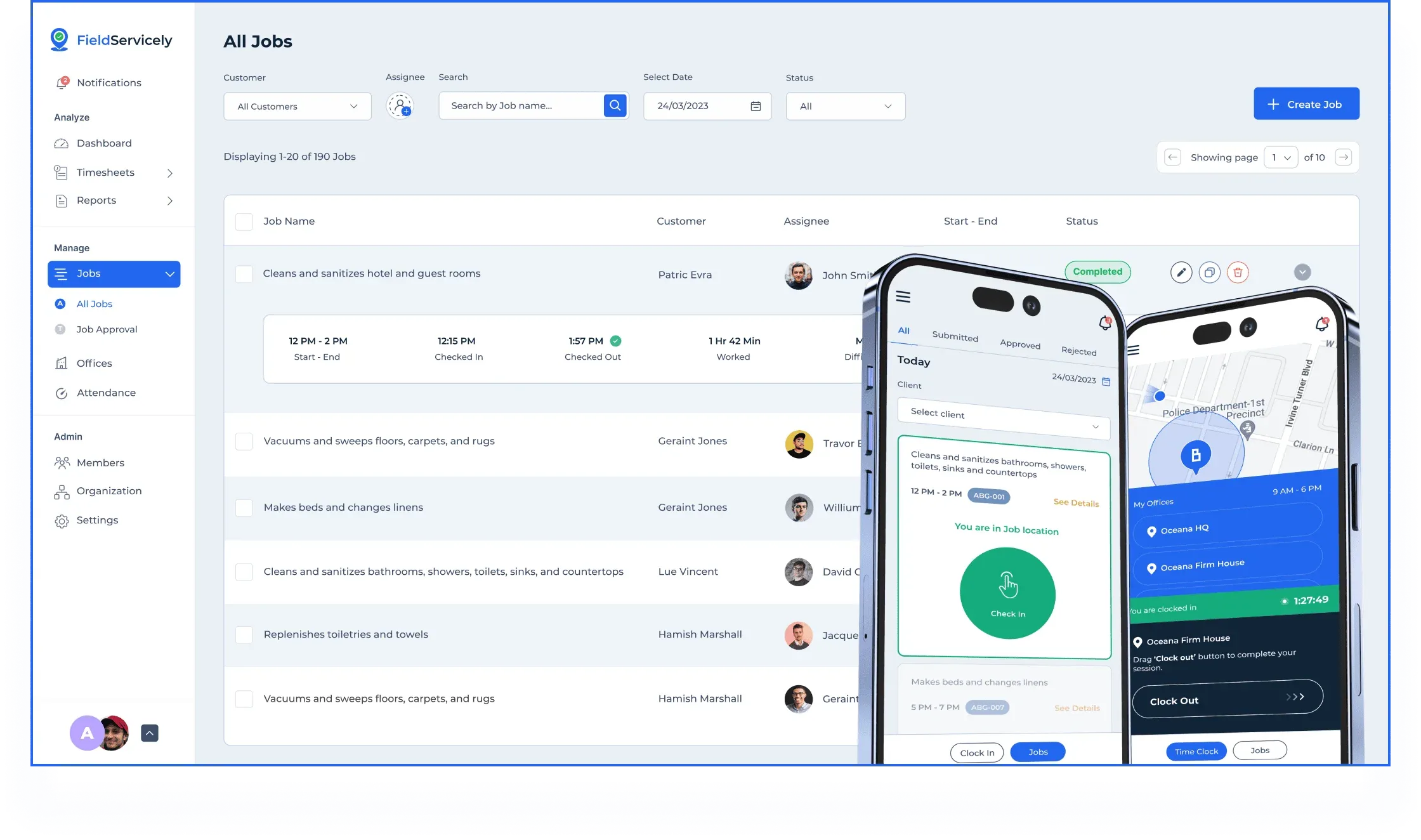
- GPS Tracking for Field Service
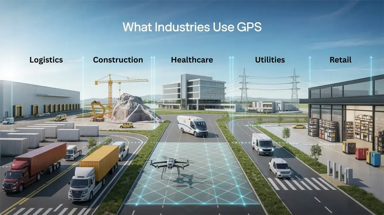
What Industries Use GPS? 11 Real-World Use Cases
Updated on 16 Feb 2026
Jump to
Summary

GPS is used heavily in daily operations across logistics, construction, healthcare, utilities, and the retail industry.
Real-time location visibility helps teams cut delays, reduce waste, improve safety, and keep customers informed.
Different industries use GPS in practical ways, from fleet tracking and dispatch to asset protection and emergency response.
GPS also introduces clear challenges such as signal loss, hardware limits, connectivity gaps, and system complexity.
Fleets using GPS and telematics report up to 9% fuel savings, 15% lower accident costs, and 10% labor cost reduction.
Nowadays, people use GPS for far more than maps and directions. It's about real-time location visibility. Industries like transportation, construction, agriculture, healthcare, utilities, retail, and public safety rely on GPS every day. They use GPS tracking to know where vehicles, equipment, and people actually are.
That’s because work no longer happens in one place. Rather, trucks leave yards, machines move between sites, technicians travel all day, and deliveries happen across cities.
In this blog, I will discuss what industries use GPS and how they use it in real operations. Also, I’ll focus on the benefits they enjoy and the challenges they face, relying on location data every day.
Common GPS Applications Across Industries: At a Glance
Some GPS examples across industries are:
| Industry | Primary GPS Purpose | Common Uses |
|---|---|---|
Transportation & Logistics | Improves visibility, reduces delays, and controls fuel use | Fleet tracking, route optimization, container monitoring, fuel management |
Agriculture (Precision Farming) | Increases accuracy and reduces input waste | GPS-guided tractors, yield mapping, soil analysis, input optimization |
Construction | Tracks equipment and improves site safety | Equipment tracking, theft prevention, job site monitoring, and worker visibility |
Healthcare | Reduces response time in emergencies | Ambulance dispatch, patient tracking, equipment monitoring, routing |
Public Safety & Government | Speeds up emergency response and improves accountability | Police and fire dispatch, fleet tracking, emergency coordination |
Utilities & Field Services | Enables faster repairs and service response | Vehicle tracking, technician dispatch, outage response |
Automotive | Supports navigation and connected vehicle systems | Navigation, diagnostics, and leasing management |
Retail & E-commerce | Improves delivery certainty and transparency | Last-mile tracking, ETAs, and inventory visibility |
Security & Asset Protection | Prevents loss and supports fast response | Shipment tracking, patrol monitoring, and incident review |
Aviation & Maritime | Ensures safe and efficient navigation | Routing, compliance, fleet monitoring |
Recreation & Consumer Use | Supports navigation, fitness, and safety | Fitness tracking, outdoor navigation, and personal safety |
FieldServicely brings GPS tracking into one simple dashboard
Explore how it work
Top 11 Industries that Use GPS
Here we have discussed some examples of GPS that are widely used in different industries:
Transportation and Logistics
Transportation and logistics run on movement. But movement without visibility is a huge risk. Once a fleet leaves the depot, delays, wrong turns, and fuel waste start adding up.
That is why this industry uses GPS tracking to track vehicles. It shows the whereabouts, how they are moving, and whether deliveries stay on track.
Once you see everything in place, it becomes easier to make a decision. Instead of reacting late to problems, teams spot issues early and keep operations predictable.
Common use:
- Fleet and vehicle tracking
- Delivery route optimization
- Container monitoring
- Fuel efficiency management
Agriculture (Precision Farming)
The use of GPS in agriculture can be game-changing as it brings accuracy to daily work. This is crucial because every season carries some risks.
Thanks to GPS, tractors can follow exact paths, yields get mapped after harvest, and soil differences become clear. So farmers stop spreading resources evenly and start applying them intelligently. Over time, fuel usage drops, overlap disappears, and productivity improves without expanding land or equipment.
Common use:
- GPS-guided tractors
- Yield mapping
- Soil analysis
- Input optimization
Construction
Equipment moves between locations, crews rotate, and timelines shift without warning in construction sites. Without visibility, machines sit idle, tools go missing, and work slows down. GPS time tracking in the construction industry introduces order by keeping heavy equipment, job sites, and worker movement visible.
Once assets and people are accounted for, route planning becomes easier. Theft risks drop, equipment gets used where it is needed the most, and safety improves.
Common use:
- Heavy equipment tracking
- Theft prevention
- Job site monitoring
- Worker location visibility
Managing fleets or deliveries?
Track vehicles live, optimize routes, and reduce fuel waste
Healthcare
In healthcare, time matters more than anything else. When emergencies arise, wasting time on searching for people or equipment costs precious lives. Using a GPS reduces that delay significantly by supporting ambulance dispatch, patient tracking, medical equipment monitoring, and emergency routing.
As locations update in real time, teams respond faster and coordinate better. So instead of asking where resources are, staff already know, which changes outcomes when pressure is high.
Common use:
- Ambulance dispatch
- Patient tracking
- Medical equipment monitoring
- Emergency routing
Public Safety and Government
Public services operate under constant demand. Police, fire crews, and municipal fleets must cover large areas while responding fast. GPS supports this by guiding dispatch decisions and keeping government vehicles visible.
With real-time location data, agencies send the nearest unit, coordinate emergencies better, and manage public resources responsibly. Over time, response improves, and accountability becomes clearer.
Common use:
- Police and fire dispatch
- Emergency response coordination
- Municipal fleet tracking
- Public service monitoring
Utilities and Field Services
Utilities and field services work against time and expectation. When power goes out or lines fail, people want answers immediately. GPS software helps track service vehicles, dispatch technicians, and optimize routes so responses happen faster.
Once teams know who is closest to a problem, repairs start sooner. As a result, outages last shorter, and service reliability improves.
Common uses:
- Utility vehicle tracking
- Dispatch technician
- Service optimization
- Outage response
Automotive
GPS plays a deeper role in automotive systems. Beyond navigation, it supports leasing management, diagnostics, and connected vehicle services that rely on constant location data.
As vehicles become smarter, GPS ties systems together quietly. It helps manufacturers, fleet operators, and drivers stay informed without manual input.
Common use:
- In-vehicle navigation
- Leasing management
- Vehicle diagnostics
- Connected vehicle services
Retail and E-commerce
Retail no longer ends at checkout. After an order is placed, customers want certainty. GPS supports last-mile delivery tracking, inventory movement visibility, and delivery transparency to meet that expectation.
As updates stay accurate, customers trust delivery timelines more. At the same time, retailers gain control over delays before complaints appear.
Common use:
- Last-mile delivery tracking
- Real-time ETAs
- Inventory visibility
- Delivery transparency
Security and Asset Protection
Security depends on speed and awareness. Whether protecting shipments or patrolling areas, knowing the location at all times matters. Plus, the asset tracking industry uses GPS to track high-value resources and patrol vehicles to reduce blind spots.
When incidents occur, teams respond faster and review movement history afterward. This level of visibility strengthens prevention and accountability.
Common use:
- High-value shipment tracking
- Patrol monitoring
- Asset protection
- Incident review
Losing visibility means losing control
Never miss a beat on what's happening in job sites
Aviation and Maritime
In aviation and maritime operations, navigation accuracy is critical. GPS supports routing, safety compliance, and fleet monitoring across air and sea.
Because conditions change fast, real-time positioning helps crews stay compliant and avoid risk. Over time, efficiency improves without compromising safety.
Common uses:
- Navigation and routing
- Safety compliance
- Fleet monitoring
- Operational efficiency
Recreation and Consumer Use
GPS also plays a role in everyday life. People use it to track fitness, navigate outdoors, and stay safe while traveling.
As devices become more personal, GPS quietly supports confidence and independence. Users move freely while staying connected.
Common uses:
- Fitness tracking
- Outdoor navigation
- Personal safety
What to Look for in a GPS Tracking System for Your Industry
Core Tracking Capabilities That Actually Matter
Everything builds on tracking, so this is where things either work or fall apart. If location updates lag or refresh too slowly, the system becomes a reporting tool instead of an operational one. In real use, that delay means you see problems only after they have already caused damage.
When tracking is truly live and accurate, the dynamic changes. You can verify movement as it happens, confirm progress, and step in early. That immediacy is what turns GPS from a passive map into something you rely on daily.
Control, Alerts, and On-Ground Accountability
Once visibility is reliable, the next question becomes control. Seeing movement is useful, but only if you know when something goes off plan. This is where alerts and boundaries start to matter.
By defining where assets should and should not be, accountability becomes automatic. Instead of chasing updates or explanations, the system flags issues as they happen, keeping small problems from growing quietly.
Driver and Operator Behavior Insights
With control in place, attention naturally shifts to usage. Location data explains where, but behavior data explains cost. Speeding, idling, and rough driving rarely show up as single events. They show up as patterns.
When the system highlights those patterns clearly, improvement feels practical. Discussions move away from blame and toward habits, which makes safety and fuel savings easier to achieve over time.
Hardware Built for Real-World Conditions
All of this depends on hardware that actually survives daily conditions. Devices are not sitting in offices. They deal with dust, weather, vibration, and long operating hours.
Because of that, the tracker must match the asset. Some environments demand rugged, sealed devices. Others benefit more from long battery life or hardwired power. Choosing the right hardware prevents constant replacements and tracking gaps later.
Maintenance, Diagnostics, and Downtime Prevention
Once hardware and behavior data are reliable, maintenance becomes the next logical layer. Breakdowns rarely happen without warning. The signals just go unnoticed.
When a GPS surfaces engine issues, fault codes, or service reminders, maintenance shifts from reactive to planned. Over time, that reduces downtime and keeps operations predictable instead of disruptive.
Software Usability and Day-to-Day Experience
Even the best data fails if people avoid the system. This is why usability matters more than most teams expect. If the interface feels heavy or confusing, usage drops quietly.
A good system lets you log in, understand the situation, and make a decision quickly. Mobile access strengthens that further, because real decisions rarely happen at a desk.
Power, Connectivity, and Network Reliability
As usage increases, reliability becomes critical. Tracking only works when devices stay powered and connected. Battery life, charging cycles, and signal coverage directly affect visibility.
Depending on where you operate, support for modern cellular networks or satellite connectivity may be necessary. Without consistent coverage, even the best system fails at the moments it is needed most.
Integration With Existing GPS In Businesses
Once the system proves reliable, integration becomes important. GPS data should not live in isolation. It should flow into the tools you already use for dispatch, operations, or reporting.
When systems connect cleanly, work simplifies instead of being duplicated. This also makes scaling easier as your business grows, without reworking processes each time.
Already using dispatch, payroll, or reporting tools?
See how integration works in a quick demo
Data Security, Access Control, and Vendor Support
As GPS becomes central to operations, data protection can no longer be an afterthought. Location data affects privacy, safety, and trust inside the organization.
Strong access controls, encryption, and clear user roles protect that trust. At the same time, responsive support ensures issues get resolved quickly, instead of lingering and disrupting operations.
As GPS becomes central to operations, data protection can no longer be an afterthought. Location data affects privacy, safety, and trust inside the organization.
This is where FieldServicely adds real value. It combines secure data handling with role-based access and responsive support, so teams stay protected without slowing work down.
Matching the System to Industry-Specific Workflows
At this point, one truth becomes clear. No GPS fits every industry the same way. Construction values durability and theft prevention. Logistics focuses on routing and timing. Field services depend on dispatch and proof of presence.
When a system aligns with how your industry actually works, it feels supportive instead of restrictive. That alignment drives adoption far more than feature count.
Understanding Total Cost and Long-Term Value
Finally, cost needs to be viewed long-term. The hardware price is only one piece. Installation, subscriptions, maintenance, replacements, and support all add up over time.
A system that quietly reduces fuel waste, prevents downtime, or avoids a single major loss often pays for itself without drawing attention. That is where real value comes from.
How Industries Benefit From GPS
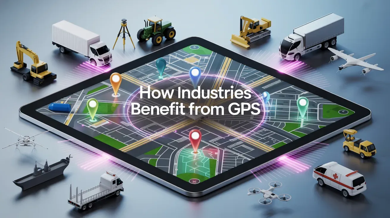
Across industries, GPS tracking has moved from a “nice-to-have” to a core operational tool. That’s because it turns uncertainty into insight. When leaders can see where vehicles, machines, and people are in real time, decisions become faster, costs fall, and quality rises.
That combination explains why the market for fleet telematics and GPS systems was valued at over $61.5 billion in 2024. [Source: Databridge]
Industries that use GPS see numerous benefits, and these are:
Lower Operating Costs
One of the most measurable benefits of GPS tracking is cost reduction, especially in fuel and labor. According to research, fleets using a GPS fleet tracking system reduced fuel costs by 9%, accident costs by 15%, and labor costs by 10%.
These savings add up fast once GPS is used as a daily decision tool rather than an occasional reporting feature.
Improved Safety and Compliance
When driving behavior is visible, habits change. Speeding, harsh braking, and unsafe driving patterns show up quickly instead of after incidents.
The same report shows companies using telematics reduced accident-related costs by 15%. GPS also supports compliance by keeping accurate trip and usage records without manual reporting.
Faster Response Times
GPS improves response by removing delays. Dispatchers no longer guess who is closest. They see it instantly.
This matters in logistics, utilities, and emergency services. Faster dispatch means fewer delays, quicker recovery, and better outcomes when time matters most.
Better Asset Utilization
Without tracking, assets sit idle or overlap work. GPS shows how often assets are used and where they spend time.
According to research, fleet tracking accounts for nearly 40% of telematics usage. That happens because of the need to improve utilization and reduce unnecessary asset purchases.
Higher Customer Satisfaction
Customers expect accuracy. GPS enables real-time ETAs and clear delivery updates. That transparency builds trust.
A report found that 98% of fleets now use telematics, with improved customer service cited as a key reason. Reliable updates reduce complaints and improve retention.
Reduced Theft and Loss
GPS also improves security. Assets that are visible are harder to steal and easier to recover.
The U.S. National Insurance Crime Bureau (NICB) reported continued growth in vehicle theft through 2024. GPS-based recovery tools are now a standard response for fleets managing high-value vehicles and equipment.
Looking for a GPS system that fits your industry?
FieldServicely adapts to HVAC, plumbing, cleaning, construction and other field service needs
Challenges of GPS Tracking Across Industries
GPS tracking helps industries move faster and smarter, but it does not work perfectly in all conditions. Across logistics, construction, utilities, and public services, teams face repeat issues that affect accuracy and reliability.
Knowing these limits helps you plan better and avoid blind trust in the data:
Signal Loss and Incorrect Location Data
The most common GPS problem is signal loss. When this happens, the tracker stops updating and disappears from the map. According to research, GPS signals are weak by design and easily disrupted by terrain, buildings, or interference.
Another frequent issue is incorrect positioning. The tracker may show a vehicle in a place it never visited. This often happens in dense cities where signals reflect before reaching the device.
Physical Blockages and Urban Environments
Buildings block GPS signals because satellites sit thousands of kilometers above the Earth. In cities, tall structures create urban canyons that cause signal reflection and delay. Research stated that GPS positioning performance is notably poorer in urban “canyon” areas due to signal blockage.
Underground parking makes the problem worse. Tunnels, basements, and covered garages often cause complete signal loss. As a result, tracking data pauses until the device returns to open sky.
Weather and Space Activity
Weather affects GPS accuracy during extreme conditions. Heavy storms and dense cloud cover can weaken signal strength. According to NOAA, harsh weather can cause short-term positioning errors.
Solar activity creates another risk. Solar flares disturb the ionosphere, through which GPS signals pass. NOAA confirms that strong solar events can cause temporary GPS degradation or outages.
Hardware Quality and Power Problems
Low-grade antennas struggle to lock onto satellites. As a result, cheap hardware often shows delayed or unstable location data.
Battery health is another major concern. When power drops too fast, devices shut down or reboot repeatedly. This breaks data continuity and reduces trust in the system.
Device Placement and Timing Issues
GPS devices need a clear view of the sky. Indoors, accuracy drops unless Wi-Fi or Bluetooth assists are available. Moreover, indoor GPS accuracy remains unreliable without hybrid positioning.
Cold starts cause delays, too. When a device powers on, it needs time to connect to satellites. In such an instance, poor internal clock accuracy increases this delay and worsens position errors.
Mobile Network and SIM Failures
Most GPS trackers rely on cellular networks to send data. So when coverage drops, location updates fail even if GPS positioning works. The GSMA report confirms that rural and remote zones still suffer from unstable mobile coverage.
That said, SIM problems add another layer. Expired data plans, faulty chips, or network congestion block data transmission. Without connectivity, tracking becomes invisible to the user.
Data Overload and System Complexity
GPS systems generate large volumes of data. Without proper filtering, teams struggle to act on insights. This slows response instead of improving it.
Then again, complex dashboards worsen the issue. When interfaces feel hard to use, teams ignore alerts or miss risks.
Cost, Scaling, and Integration Limits
GPS tracking comes with ongoing costs such as hardware, installation, data plans, and maintenance. These expenses hit small and mid-sized fleets the hardest.
Integration also causes friction. Some systems fail to connect with dispatch, payroll, or ERP software. When tools do not talk to each other, efficiency gains stall.
Not all GPS systems handle field challenges
See how FieldServicely makes a difference
Conclusion
Understanding what industries use GPS makes one thing clear. It has become a core operational layer for industries that depend on movement, timing, and coordination. When organizations know where vehicles, equipment, and teams are in real time, they reduce uncertainty and operate with greater control. This visibility improves efficiency, strengthens accountability, and helps teams respond faster when conditions change.

